Thank you for your patience while we retrieve your images.
Taken 16-Aug-18
Visitors 3


21 of 24 photos
Thumbnails
Info
Categories & Keywords

Category:
Subcategory:
Subcategory Detail:
Keywords:Alberta, CAN, Canada, Erin Woods, Kananaskis Country (Claresholm)
Photo Info

Dimensions7360 x 4912
Original file size22.7 MB
Image typeJPEG
Color spacesRGB
Date taken16-Aug-18 12:49
Date modified9-Sep-18 10:25
Shooting Conditions

Camera makeNIKON CORPORATION
Camera modelNIKON D800
Focal length145 mm
Focal length (35mm)145 mm
Max lens aperturef/5.7
Exposure1/160 at f/16
FlashNot fired, compulsory mode
Exposure bias-1/3 EV
Exposure modeAuto
Exposure prog.Aperture priority
ISO speedISO 250
Metering modePattern
Digital zoom1x
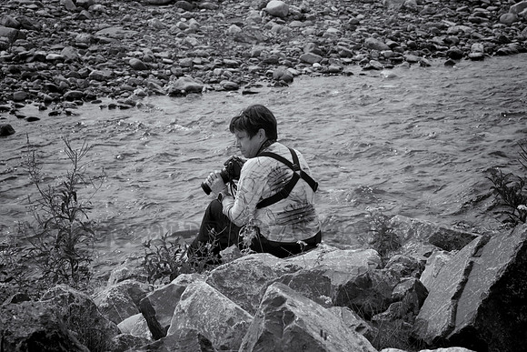
Elbow River - Big Elbow Trail Head

Elbow River - Big Elbow Trail Head

Elbow River - Big Elbow Trail Head (Elevation 1608 ft.)

The trail also starts/ends at the Elbow Pass Day Use area on Highway 40 in Peter Lougheed Provincial Park. From Tombstone to Elbow Lake add 6.0 km. This trail is the east half of the well-known Elbow Loop. The old fireroad follows the Elbow River upstream past Big Elbow Backcountry Campground to Tombstone Backcountry Campground and trail junctions beyond. There are views of Threepoint and Cougar Mountains, Mounts Glasgow and Cornwall, and Banded Peak.